the need
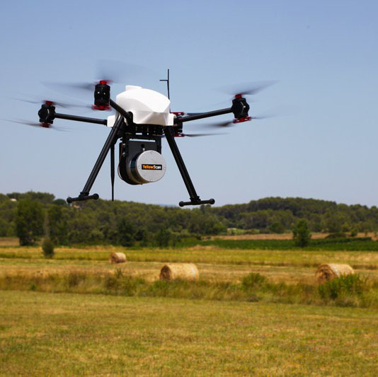
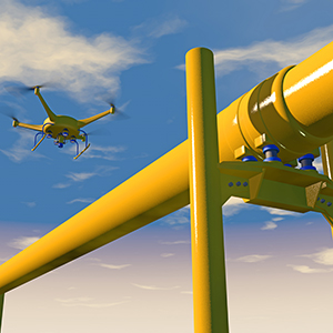
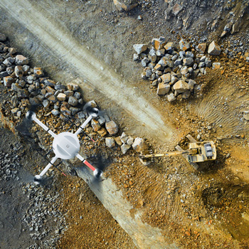
Uncrewed Aerial Vehicles (UAVs) are increasingly being used for aerial survey, mapping, GIS data collection, infrastructure inspection, construction, and much, much more. In order to effectively use imagery collected, such as photos or LiDAR, the imagery needs to be accurately georeferenced so that measurement, mapping, and data analysis can be completed.
the challenge
The traditional approach is to use aerial triangulation which requires the collection of ground control points to geographically position the imagery. This is both a costly and time consuming process. In addition, UAVs have a size, weight, and power (SWaP) limit for carrying sensor payloads.
the solution
The solution is to eliminate the need for aerial triangulation and use Direct Georeferencing (What is DG?), a process that requires no ground control points to produce accurately georeferenced imagery. As well, use light-weight integrated GNSS/INS boards that are small in size, meet power requirements, yet provide highly accurate positioning and orientation information for Direct Georeferencing. The Trimble APX-15, APX-15 EI, APX-18, and APX-20 board stacks address these requirements.