rapid response
the need
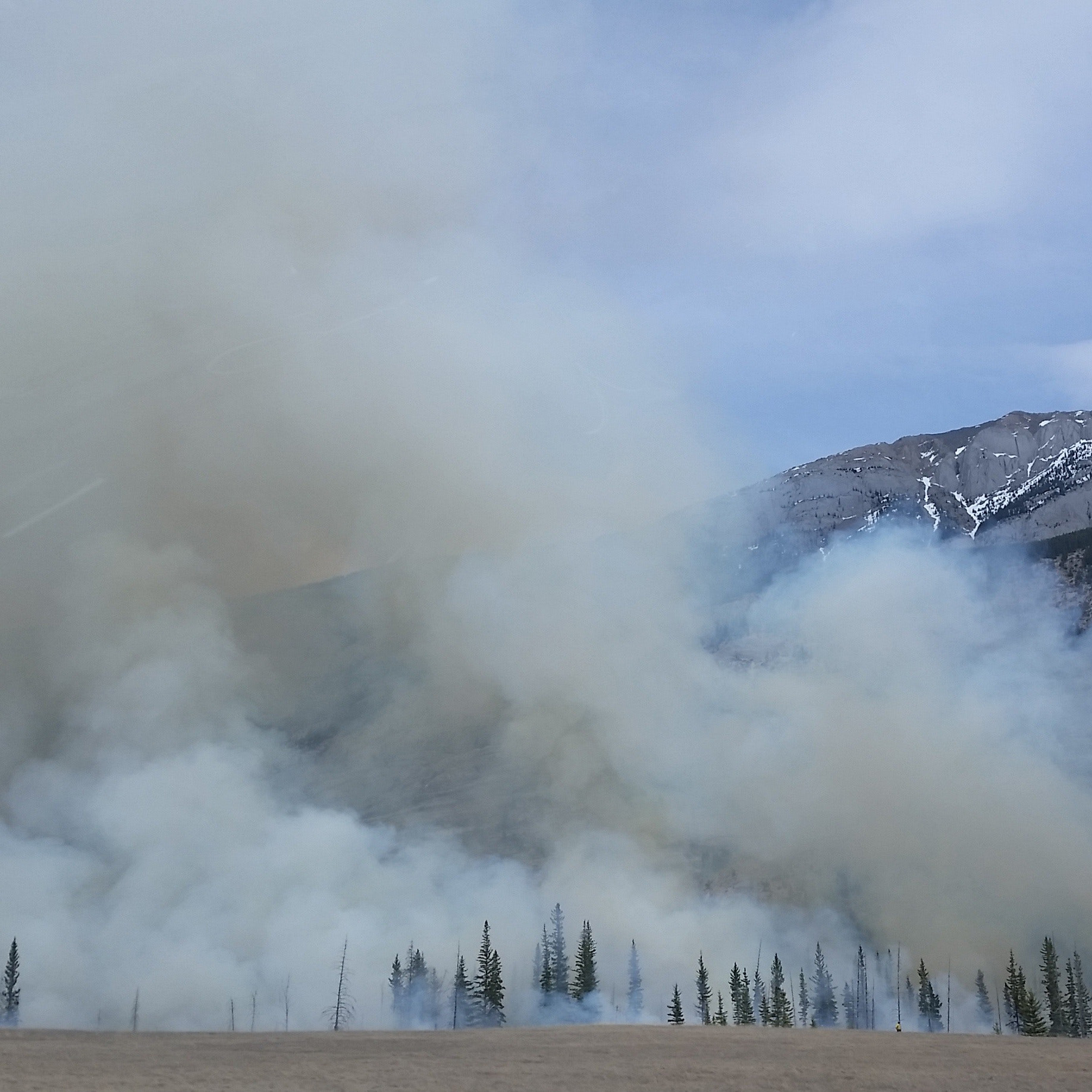
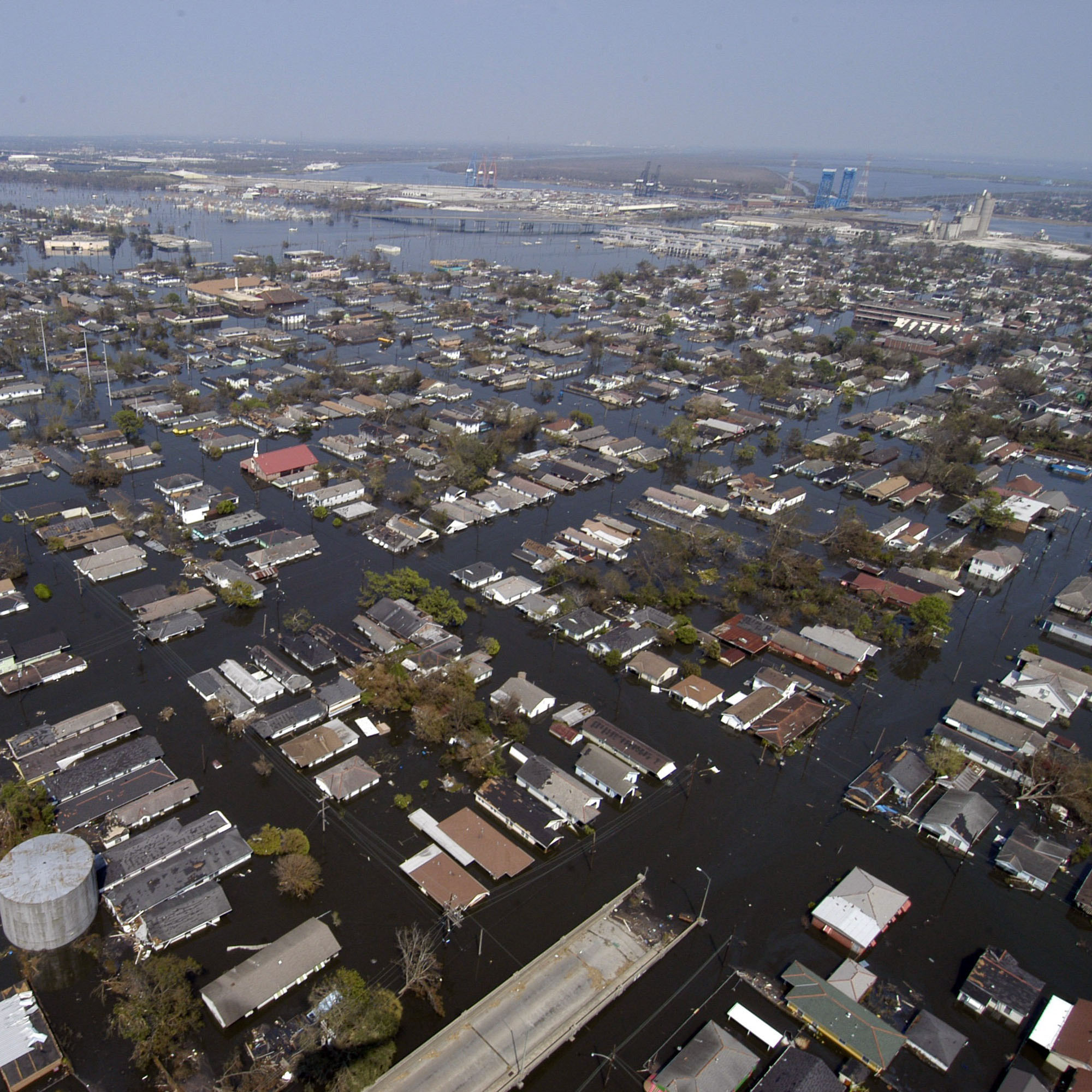
Emergencies, due to natural disasters or simply unforeseen events, often require immediate action from emergency response crews, such as those from the Army Corps of Engineers, to save lives and property.
the challenge
Accurately and immediately assess the damage and locate areas requiring maximum relief efforts.
the solution
Airborne vehicles specifically equipped for mapping missions can accurately collect imagery and geographically position the imagery for creating an up-to-date map of the situation on the ground for use by rapid responders. These solutions can utilize manned aircraft or UAVs.
 Rapid Response UAV
 Rapid Response Crewed
To Top