pipelines
the need
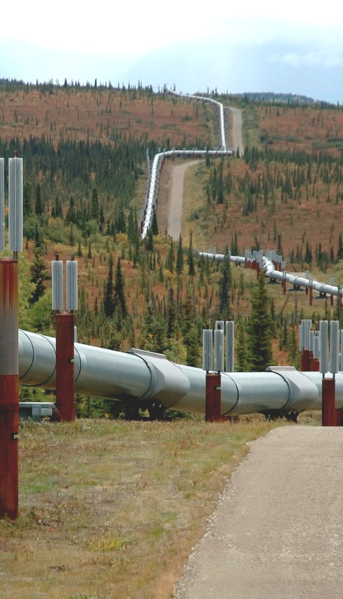
Selecting an area of land for a pipeline requires an accurate assessment of potential paths. Each corridor of land will have its own issues: location, current land use, the terrain, existing infrastructure, and environment concerns. Once built, that pipeline also must be monitored for maintenance planning and security operations.
the challenge
Surveys in remote and inhospitable terrain are difficult to perform, potentially dangerous, and often expensive.
the solution
Airborne manned and unmanned solutions from Applanix use Direct Georeferencing to enable high-efficiency aerial mapping and asset inspection of pipelines and land corridors. These solutions include POS AV, POSTrack, POSPac MMS for manned operations or the Applanix APX boardsets with POSPac UAV for unmanned.
 Pipelines and UAVS
 Pipelines and Crewed Applications